
Bunker
Built by the U.S. Government during World War II and completed in 1943, this 9-room bunker housed an electronic commmand center for minefield operations at the entrance to Boston Harbor. Signals were transmitted from an observation station atop the bunker, which was both bombproof and gasproof.
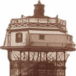
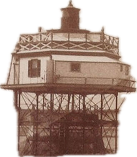
If low tide reveals the gravel spit that points toward Hull, you can imagine the structure that once stood at the end of that spit: Bug Light.
The southerly view shows the large headland called Point Allerton, located toward the outer end of the Hull peninsula, and the Hull Lifesaving Museum.
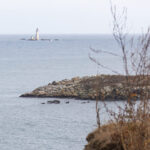
Photo by Charlie Nutting
This channel is called Nantasket Roads, and the difficulty in finding this entrance to Boston Harbor caused many shipwrecks. Boston Light was first built in 1716
Seawalls
Construction of massive granite seawalls in Boston Harbor began with the U.S. Congressional funding of the 1825 Rivers and Harbors bill. Although funding for public projects became scarce from 1840 through the Civil War years, seawall projects for Lovell’s and Great Brewster Islands were considered essential for commerce and fortification of Boston Harbor. Thus, the U.S Corp of Engineers began construction of these seawalls on the South and North heads of Great Brewster in 1848, paused from 1852 through, 1870, and completed the system in teh early 1870s. Wide stone aprons and projecting jetties help divert the sea’s force from the fourteen foot high walls, but constant wave action and storms undermine the wall. Most recently repaired in 1980 after the storm of ’78, the seawalls are too dangerous for use as a circuit trail. Seagulls and Cormorants may be seen here.
Salt Marsh
This salt marsh is usually dry in the summer, but it fills with rain and saltwater during storms and in the winter months. The plants that live here must be able to tolerate a wide range of moisture and salinity. Millions of tiny organisms live in the marsh; in fact, salt marshes are five to ten times more productive than our most fertile farmland. The nutrients and biota produced here are carried by tides into the estuaries and oceans, where they continue in the food chain.
Concrete Foundations
In 1942, one hundred twenty soldiers from Battery C 9th Coast Artillery at Fort Strong were sent to occupy Great Brewster Island. Other than the bunker and the pump-house, concrete foundations are all that remain of the buildings used by the soldiers. Among the buildings were a mess hall, barracks, maintenance garage, and PX as well as platforms for searchlights and anti-arcraft and anti-torpedo boat guns. In early 1944, the War Department closed the island, and after training on I55 “Long Tom” field artillery at Camp Hood, the soldiers from Great Brewster went on to join the U.S. 9th Army in Germany. If you look closely, you may see apple trees and grapevines left over from both civilian and military residents.
Pumphouse
This pumphouse was among the first of the military fortifications built here in 1942. Fresh water was brought here on barges, then pumped uphill to the reservoir behind the pumping station. Pipes carried the water from there to the barracks and mess hall below.
Stone Wall
Up to fifteen families lived on the island between 1900 and 1941. They paid $5 annually to the U.S. Government. The stone wall seen through the sumac was part of an older summer cottage’s foundation. 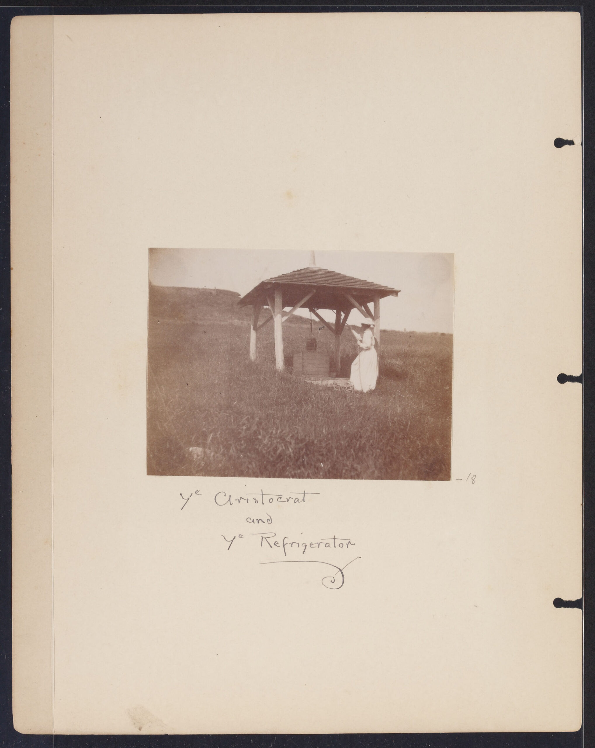 For fresh water, the residents used a well that had been dug in 1726.
Flora
Staghorn and smooth sumac are both found on Boston’s harbor islands. Staghorn is named from its fuzzy younger branches, which appear like deer antlers. Smooth branches and looser, light reddish berries distinguish smooth sumac. All sumacs are early successional plants, which means they are among the first to grow in areas that have been cleared or burned. 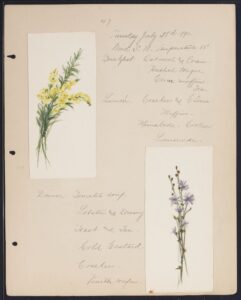 Sumac was likely not widespread during the Merrie Trippers’ 1891 visit, although they did document chicory and toadflax.
Tuesday, July 28, 1891
The Boston skyline lies to the northwest. Looking north you can see Calf and Green Islands, and farther out is Graves Light marking those rocks and the north two main entrance channels to Boston Harbor. Continuing your view easterly and close-by you can see Middle and Outer Brewster Islands, then southeast are Shag Rocks and Little Brewster Island where Boston Light marks the south approaches to Bsoton Harbor via Nantasket Roads. Looking west you’ll see Peddock’s, then George’s and Lovell’s Islands. Beyond these islands in the west are Quincy Bay and the Blue Hills Reservation.
Great Brewster is a drumlin island, a hill of clay and gravel mix built by glacial forces; like the other drumlin islands it was created about 15,000 years ago by a retreating glacier, making it the youngest of the eight outer harbor islands. A 100-ft. hight glacial till provides a dramatic view and protects visitors on the beachfront from the cold east winds. Four outer islands are named for Elder William Brewster, who was a preacher and teacher from the Pilgrim Church in Plymouth, Massachusetts.
Like many of the Boston Harbor islands, Native Americans used the island as a summer residence. Over the last several hundred years it was also used for farming and leased from the City of Boston for a private summer villa. The federal government bought the island in 1900 and rented land to Boston families for summer homes. Because of the island’s location at the entrance to Boston’s main shipping channel, when the U.S. entered World War II in 1941, the government ordered all civilians to leave and used the island as a command center.